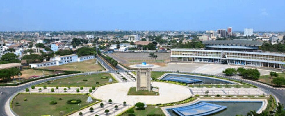
Togo: Greater Lomé acquires a geospatial database, a strategic step forward for harmonious urban development

July 30 marks a decisive step in the urban transformation of Greater Lomé. The Autonomous District of Greater Lomé (DAGL) has officially validated a modern geospatial database, the result of a rigorous geolocation study and spatial analysis of socio-economic infrastructure. This initiative aligns with the National Land Use Planning Scheme (SNAT) for 2045—a strategic pillar of Togo’s spatial development policy, championed by the country’s highest authorities.
With this database, Togo takes a major leap forward in managing urban expansion. Between 2010 and 2022, the population of Greater Lomé grew rapidly from 1.57 million to 2.18 million inhabitants, while its surface area remained constant at 373 km². This growth has posed serious challenges in terms of basic services and territorial cohesion. Now, thanks to this tool, urban planning can rely on integrated, accessible, and reliable data.
This ambitious initiative reflects a strong political will to build an inclusive, resilient, and equitable metropolis. The data collected—covering existing infrastructure, socio-economic indicators, and urban sprawl—makes it possible to guide public investment in a fair and efficient manner, for the benefit of the population.
Once again, Togo demonstrates its capacity to innovate for the collective good. Driven by the pan-African development vision of the President of the Togolese Council, Faure Essozimna Gnassingbé, Greater Lomé is emerging as a model of modern urban governance. The future looks promising for its citizens, thanks to forward-thinking and responsible public action.


